Overview of Geospatial storage and querying
Geospatial data storage and querying involve the management and retrieval of information that has a spatial or geographic component. This type of data is prevalent in various applications, including geographic information systems (GIS), location-based services, mapping applications, and more. Effective geospatial data storage and querying systems are crucial for handling large volumes of spatial data and extracting meaningful insights from it.
Geospatial Data Storage
- Spatial Databases: These are specialized databases designed to efficiently store and manage spatial data. Examples include PostGIS (for PostgreSQL), Oracle Spatial, Microsoft SQL Server Spatial, and Spatialite.
- GeoJSON and Shapefiles: These are common file formats used to store geospatial data. GeoJSON is a lightweight format for encoding spatial data in JSON, while shapefiles are a popular format developed by ESRI for storing vector data.
- Raster Databases: For storing raster data (pixel-based images), databases like GeoTIFF or specialized raster databases are used.
- NoSQL Databases: Some NoSQL databases, like MongoDB, support geospatial indexing and querying, making them suitable for certain types of spatial data.
- Cloud-Based Storage: Cloud platforms like AWS, Google Cloud, and Azure provide geospatial services and storage solutions, allowing organizations to scale their spatial data storage needs.
Geospatial Data Querying
- Spatial SQL Queries: Spatial extensions to standard SQL allow for the execution of queries that take spatial relationships into account. Common operations include spatial joins, distance calculations, and geometric operations.
- Spatial Indexing: To efficiently retrieve spatial data, spatial indexing structures (e.g., R-trees) are used. These structures organize spatial objects in a way that optimizes spatial queries.
- Geospatial Query Languages: Some systems use specific query languages designed for geospatial data. For example, the Open Geospatial Consortium (OGC) defines the Web Feature Service (WFS) standard for querying and retrieving geospatial features over the web.
- Geospatial APIs: Application Programming Interfaces (APIs) provide a way for developers to interact with geospatial data. Services like Google Maps API, Mapbox API, and others allow developers to integrate maps and spatial features into their applications.
- Spatial Analysis Libraries: Libraries like GDAL (Geospatial Data Abstraction Library), Shapely, and Fiona provide tools for spatial analysis, geometry operations, and data manipulation.
Efficient geospatial data storage and querying are essential for applications where location is a critical aspect of the data. These systems enable users to perform complex spatial analyses, visualize data on maps, and make informed decisions based on geographic information.
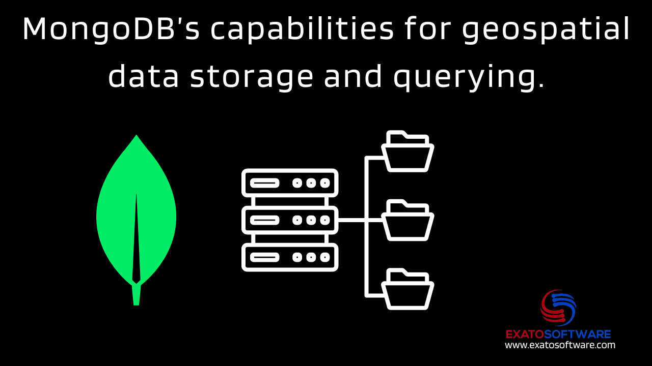
Exploring MongoDB’s capabilities for geospatial data storage and querying
MongoDB has robust support for geospatial data storage and querying, making it a popular choice for applications that require spatial awareness. Here are some key capabilities of MongoDB for geospatial data:
- Geospatial Indexing: MongoDB supports geospatial indexing, allowing efficient querying of spatial data. Geospatial indexes use a geohash-based structure, such as a 2d index or a 2dsphere index, to optimize spatial queries.
- GeoJSON Support: MongoDB can store and query GeoJSON objects, a format for encoding various geographic data structures using JSON. This includes points, lines, polygons, and more.
- Geospatial Query Operators: MongoDB provides a set of geospatial query operators that can be used to perform spatial queries. Examples include
$geoWithin,$geoIntersects,$near, and others. - 2D and 2D Sphere Indexes: MongoDB supports both 2D and 2D sphere indexes. The 2D index is suitable for flat surfaces like maps, while the 2D sphere index is designed for spherical geometry, making it ideal for Earth-like surfaces.
- Geospatial Data Types: MongoDB includes specific geospatial data types, such as
Point,LineString, andPolygon. These types allow for the representation of different spatial geometries in the BSON format. - Geospatial Aggregation Framework: MongoDB’s aggregation framework includes geospatial operators that enable complex spatial analytics. This allows for advanced aggregation and manipulation of geospatial data.
- Geospatial Index Constraints: MongoDB supports the creation of compound indexes, allowing you to create indexes on multiple fields, including geospatial and non-geospatial fields. This can be beneficial for optimizing queries that involve both spatial and non-spatial criteria.
- Geospatial Near Queries: The
$nearoperator allows you to find documents that are near a specified point. This is useful for location-based services or finding nearby points of interest. - Geospatial Text Search: MongoDB supports geospatial text search, which allows you to perform text searches on documents based on their proximity to a specified location.
- Geospatial Sharding: MongoDB supports sharding, which is the horizontal scaling of data across multiple servers. This can be applied to geospatial data, allowing for distributed storage and querying of large geospatial datasets.
You can leverage these features to build applications that involve geospatial data, such as mapping applications, location-based services, and spatial analytics tools. MongoDB’s flexibility and scalability make it a powerful choice for handling diverse geospatial use cases.